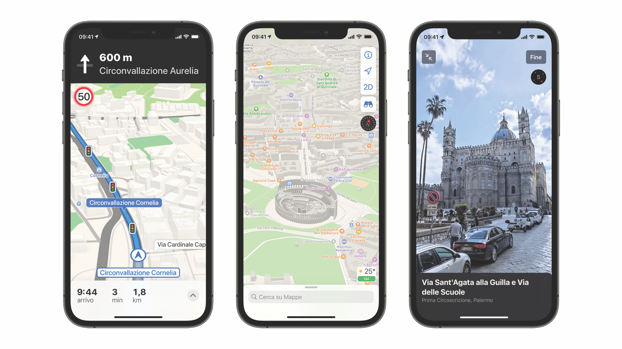
Jacob Krol, writing for CNN, interviewed Apple Maps’ David Dorn, its product lead, and Meg Frost, its design lead, about the app’s steady improvements since its introduction in 2012. The story covers many of the features added in the fall with the release of Apple’s latest OS updates, which we’ve covered before, but adds the context of what Dorn and Frost’s teams were trying to accomplish with the changes. For example, with respect to complex roadways the updates have meant that:
“At a glance, drivers can understand a complex intersection more quickly than ever before,” said Frost. “And that detail helps with that split-second decision of which turn they’re going to make. So we want it to be both safer and visually satisfying to navigate.”
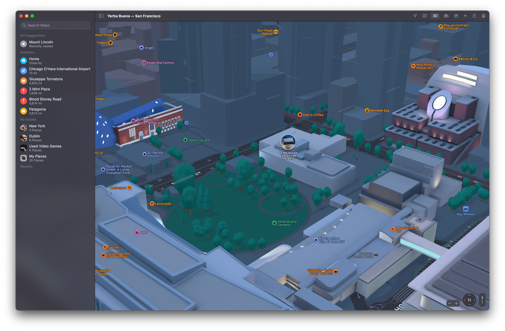
It was also interesting to learn that each of the 3D elements added to a handful of cities, and have begun to expand to new locales, are handmade by Apple’s designers:
“We pick the amount of detail we find appropriate and create a 3D mesh of the building landmark itself. And we apply it to the base map,” explained Frost.
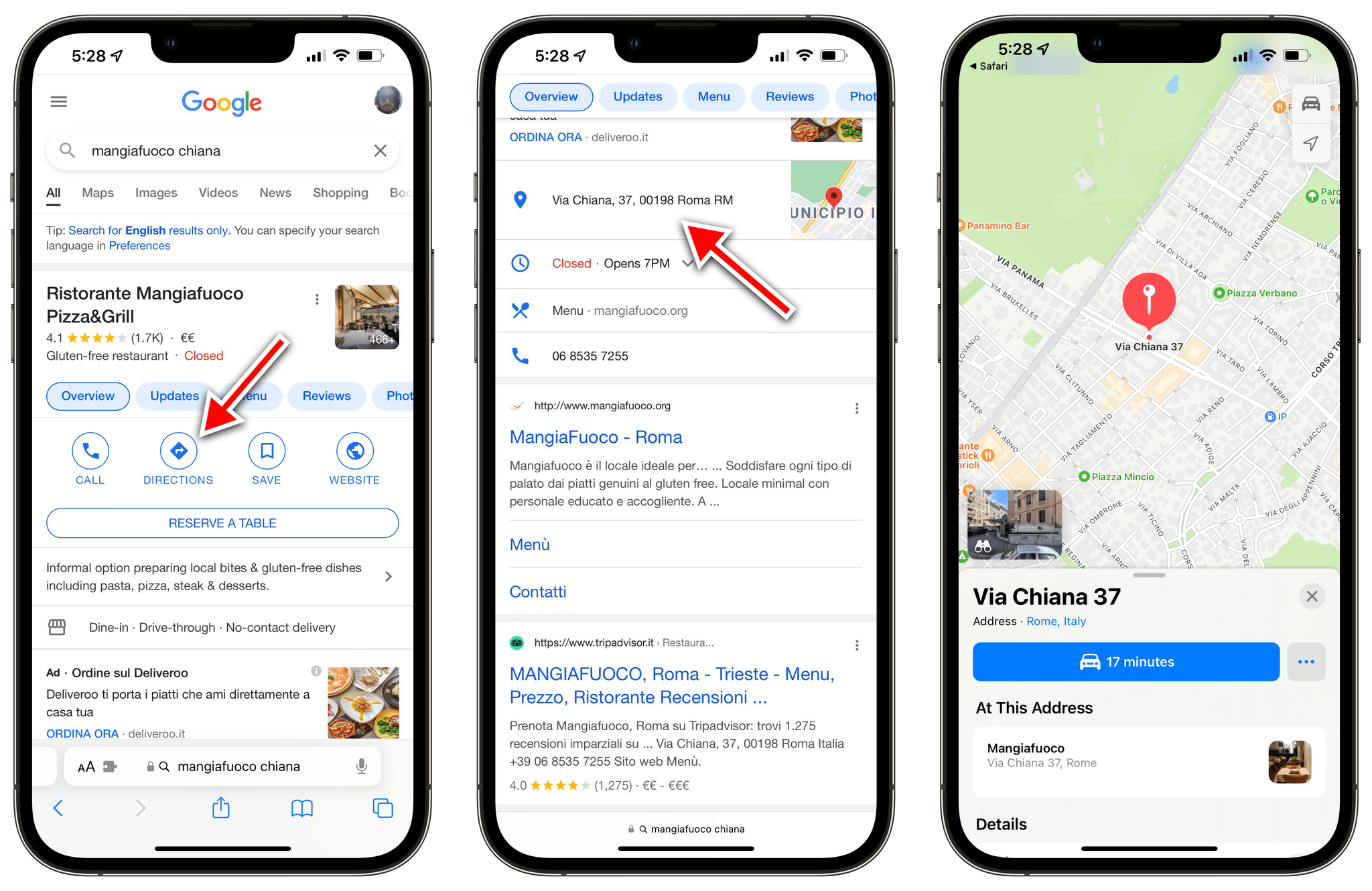
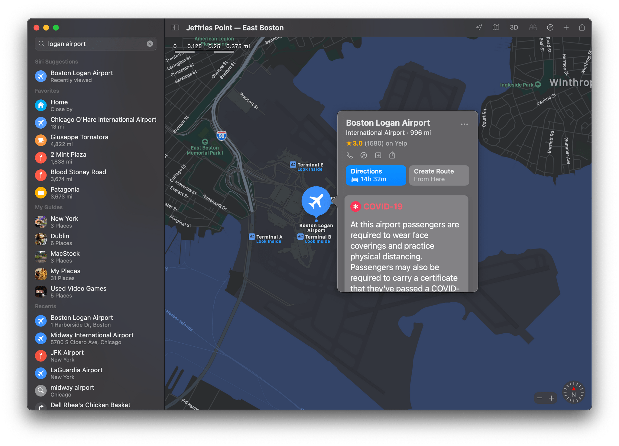
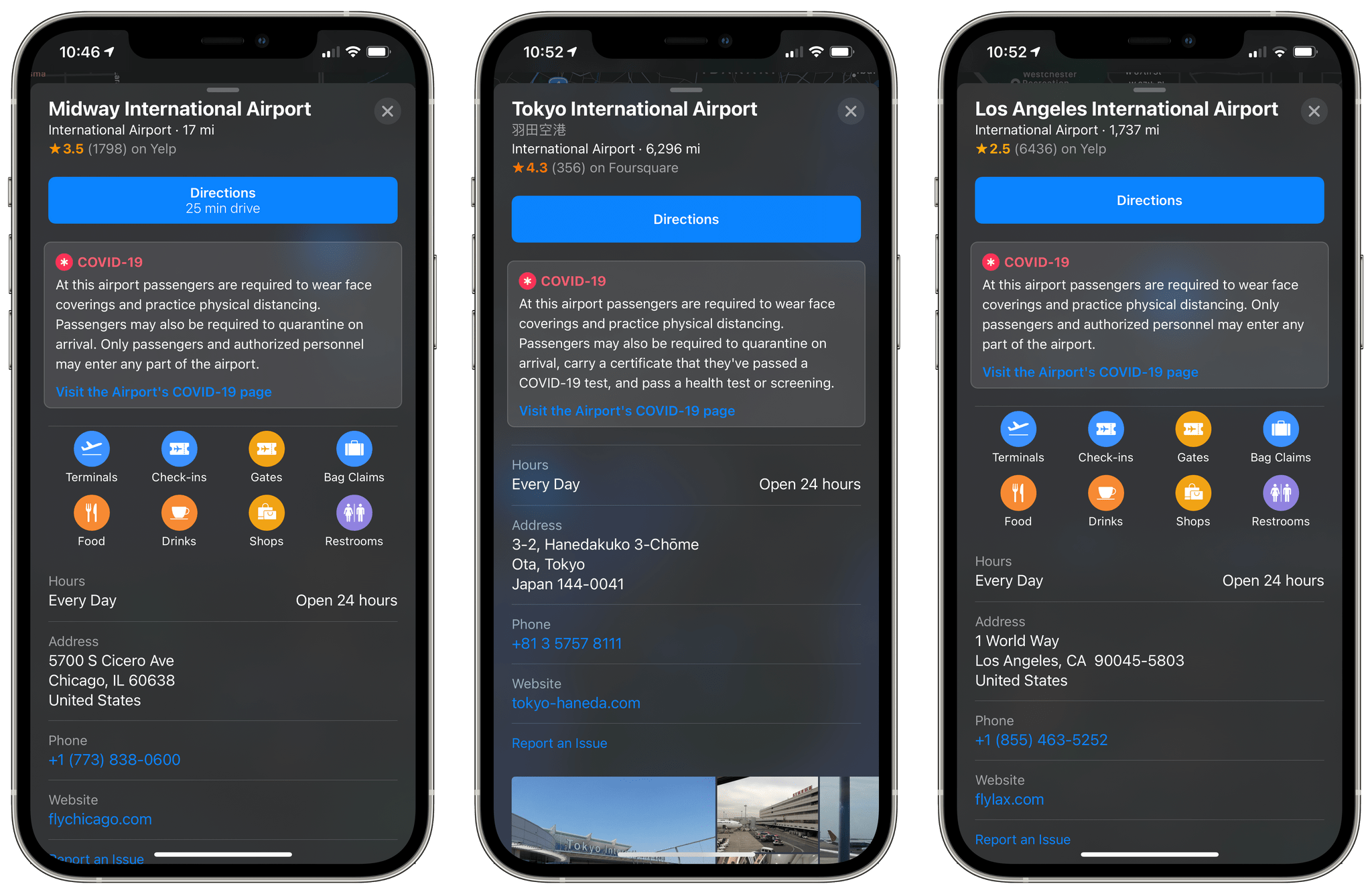
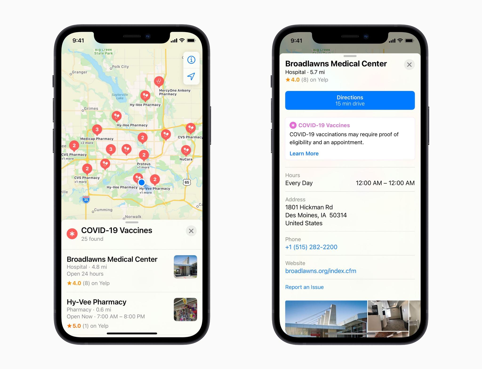
In the past couple of years, Apple Maps has really hit its stride, at least in the places that I’ve used it. Maps are more detailed, I’ve encountered far fewer errors than in the past, and the experience of using the app with CarPlay is excellent. Although it’s nearly 10 years old now, Apple Maps still feels new to me because of the relentless iteration on the original app. By its nature, Maps demands constant attention, but it also shows how a competitive app category goes a long way toward keeping an app fresh and innovative.