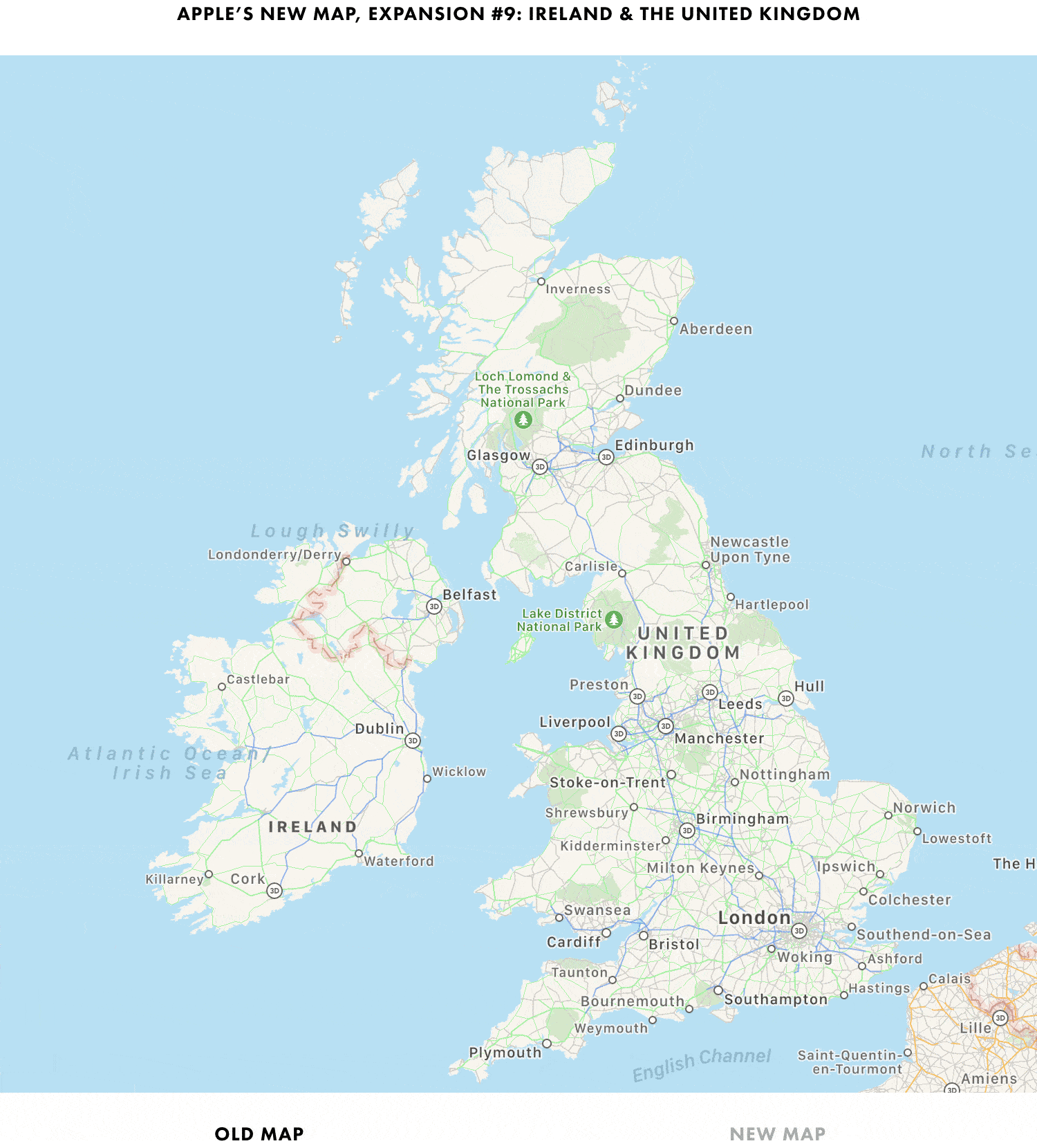
As announced at WWDC, Apple has expanded its modern maps to the United Kingdom and Ireland. As usual, Justin O’Beirne has begun documenting the changes on his blog with GIFs and charts cataloging the differences.
Apple’s ninth Maps data update is its first outside the US and covers all of the United Kingdom and Ireland. Although the update represents one of the smaller additions by land area, it’s the second-largest in terms of the total population and population density.
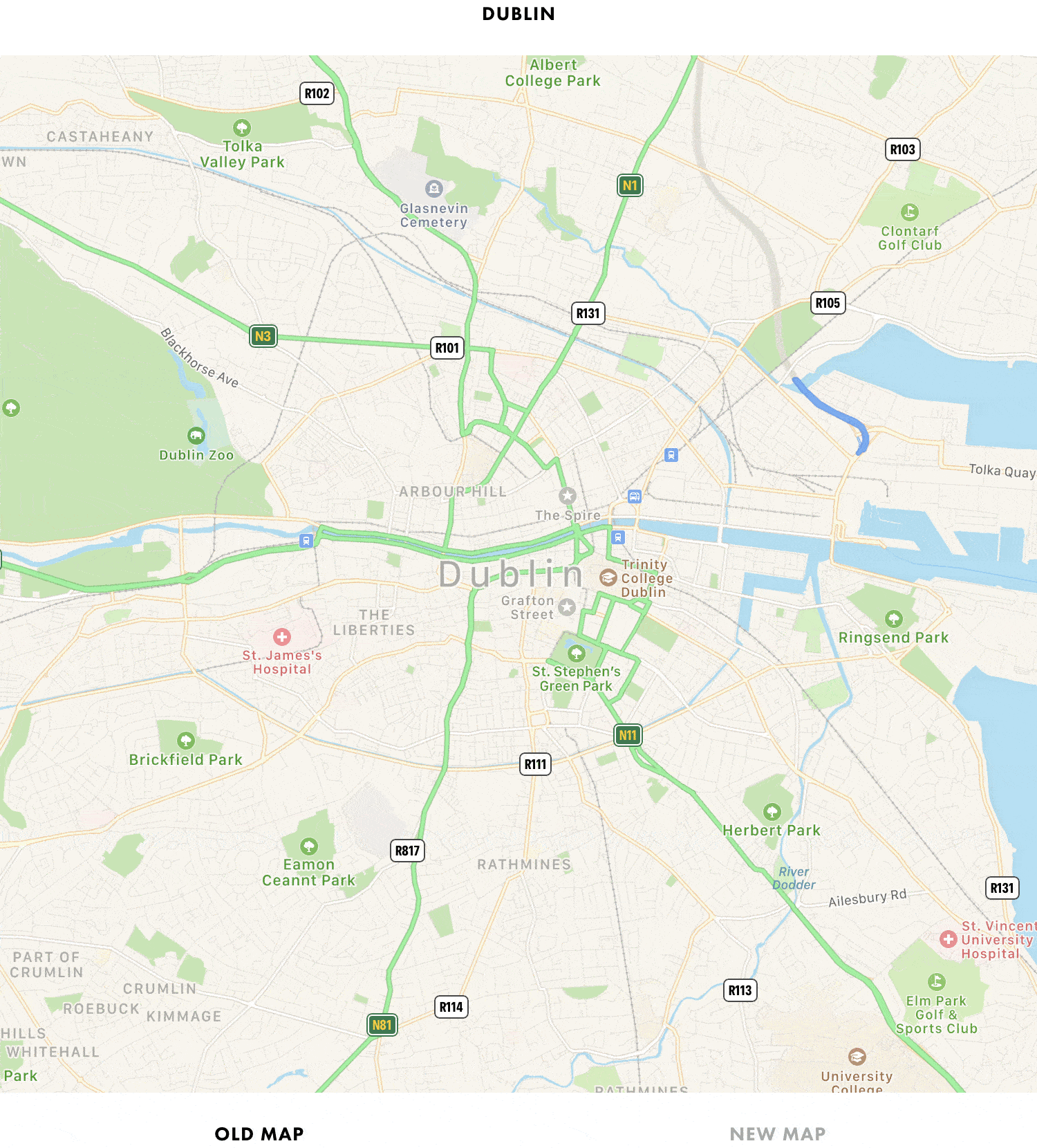
As with previous updates, O’Beirne’s GIFs do a terrific job visualizing the changes with examples from urban areas like London, Edinburgh, Belfast, and Dublin, along with places like Stonehenge, Loch Ness, Wales, and the Cliffs of Moher. The new maps are a clear improvement with more clearly defined green spaces, detailed landmarks, and other improvements.
Be sure to visit O’Beirne’s website for his complete set of GIFs, charts, and ongoing updates.